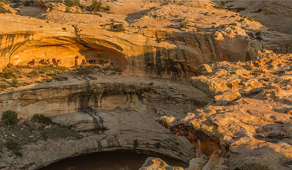
Salvation Knoll
Cedar Mesa
Time
30-60 Minutes
Fee
None
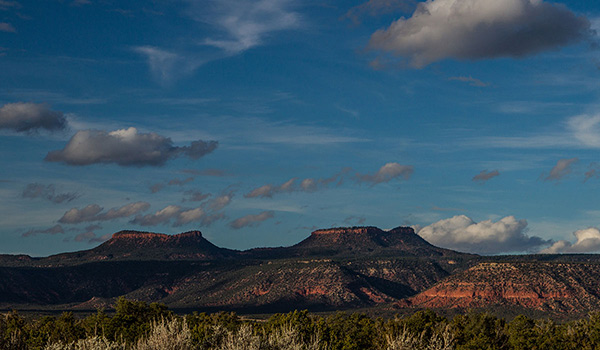
Locale
Cedar Mesa
Fee
None
Time
30-60 Minutes
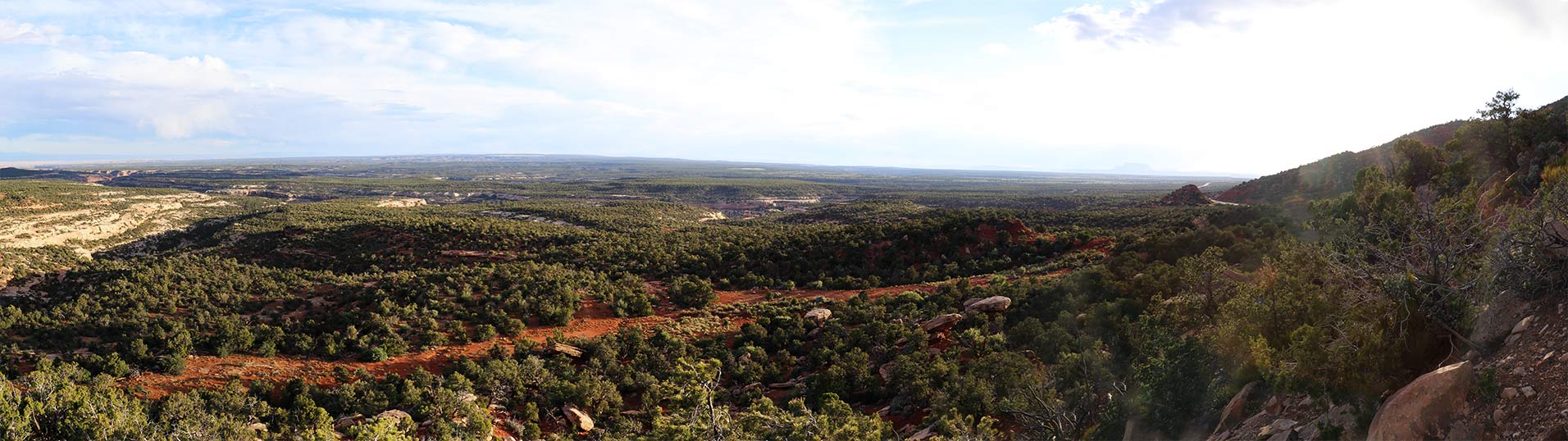
This is a short but steep half mile round trip hike to an interpretive panel about the 1879-1880 Mormon Pioneer Hole-in-the-Rock expedition. From this highpoint on the landscape, you can experience the same views as the original pioneers that climbed this hill.
Special Considerations
The trail is rugged and climbs 170’, use care while hiking on the slippery gravel. There are no bathroom facilities available at Salvation Knoll.
Tips For Visiting Here with Respect
Hover to reveal individual tips, or click to see them all.
Tap an icon to see all tips.
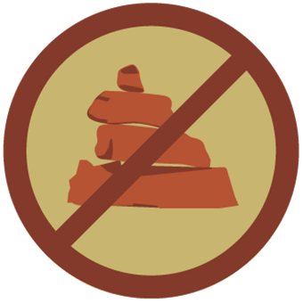
Avoid Building Cairns
Cairns can increase impacts on sensitive sites and are frequently constructed with artifacts like grinding, construction or shrine stones.

Historic Trash isn’t Trash
Leave historic artifacts like rusted cans right where they are. They help interpret the past and show how people lived.

Don't Bust the Crust
Stay on existing trails and routes to protect the living cryptobiotic soil.
Maps & Directions
Interactive Google Map
From Blanding: Travel south on Hwy 191 for three miles and take a right onto UT-95 N. Travel west 24.4 miles and look for a wayside exhibit and pullout on the left.
From Bluff: Travel north on Hwy 191 for 21 miles. Turn left onto UT-95 N. Travel west 24.4 miles and look for a wayside exhibit and pullout on the left.
From Bluff: Travel north on Hwy 191 for 21 miles. Turn left onto UT-95 N. Travel west 24.4 miles and look for a wayside exhibit and pullout on the left.
Coordinates
37.56416,-109.81930
Official Monument Map
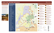
Photo Gallery

Avoid Building Cairns
Keep the landscape natural by leaving only footprints. Cairns can increase impacts on sensitive sites and are frequently constructed with artifacts like grinding, construction or shrine stones.